Putting tree diversity on the map
For the first time, German biodiversity researchers were able to use a statistical model to calculate the diversity of tree species in different regions of the world and produce a complete world map.

Trees are a natural source of CO2 and make an important contribution to climate protection. However, species diversity varies greatly from region to region and has changed dramatically over the years. In the humid tropics, for example, there are considerably more plants to be found per square metre than in Germany. But why is this so, and what factors influence the diversity of tree species? In order to find answers to these questions, the forested areas of the world would have to be thoroughly explored - truly a Sisyphean task.
Statistical model records studies and environmental factors
Researchers at the German Centre for Integrative Biodiversity Research (iDiv) and the Martin Luther University Halle-Wittenberg (MLU) have now managed to do just that. This was made possible by a new statistical method developed by Petr Keil and Jonathan Chase and presented in the journal "Nature Ecology and Evolution". The model is exceptional in that it combines data from investigations on individual areas with information from studies on tree diversity in entire countries. In addition, known data on environmental factors such as climate are integrated. “In order to really understand and protect biodiversity, we have to look at the local and regional scale at the same time,” says Petr Keil. "Our approach now enables that."
Map of global diversity of tree species produced
The researchers were thus able to fill the white spots in the tree species atlas and produce a complete map of all forested areas of the earth. “It was like a 1000-piece puzzle that we only had a few pieces of, and we didn’t even know what the big picture was,” says Jonathan Chase. “With our approach, we were able to calculate the missing pieces and put the puzzle together.”
Climate influences tree species diversity the most
By using the method, the team was also able to show that the climate is the factor that has the greatest impact on tree diversity. They found that the warm and humid tropics have the greatest variety of tree species. Nevertheless, there were considerable differences between places with the same climate. In southern China, for example, the researchers found a diversity that is significantly greater than in climatically similar regions.
Diversity also due to ice age
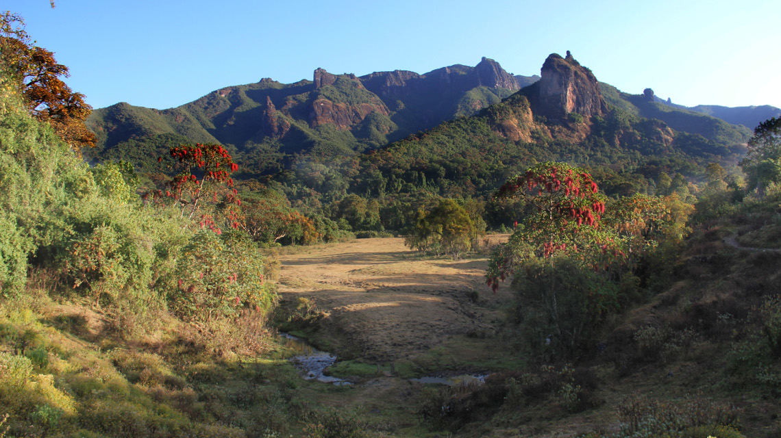
Keil and Chase were able to show with their analysis that the degree of beta diversity in the mountainous regions of the dry tropics is particularly high - as in South China, Mexico or the Ethiopian highlands. Beta diversity describes the differences in species composition between neighbouring habitats. One reason for this difference could be found in the ice age. "During the last glaciation, the trees could only survive in mountain valleys and were thus isolated from each other," explains Petr Keil.
Contribution to global species protection
Thanks to the new model from Keil and Chase, the diversity of tree species can be calculated in the future for areas of varying size such as a nature reserve, a state or even an entire continent, thus showing the state of global biodiversity. The researchers are convinced that this can contribute to improving global species protection.
bb/um


